 It’s me, Cam
June 8, 2022
Debugging at 14,000ft
Last summer, I was getting bug reports for my app Landscape that data would sometimes be lost while recording a hike. Data loss is a big issue because it erodes any trust and confidence that a user has in an app. I dropped my feature work and tried for days to reproduce the issue, but was never able to at my desk. Finally, I came to the conclusion that the only way to reproduce the bug and identify the issue was to get on the trail and hope I would encounter it myself.
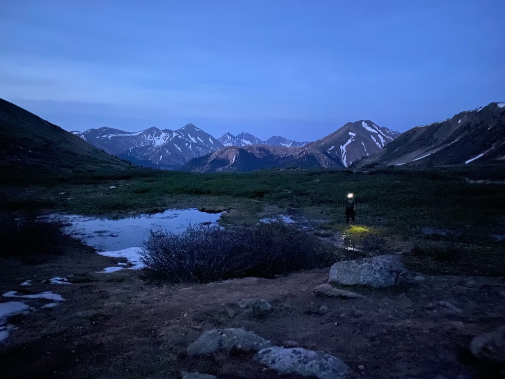 | 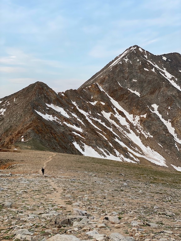 |
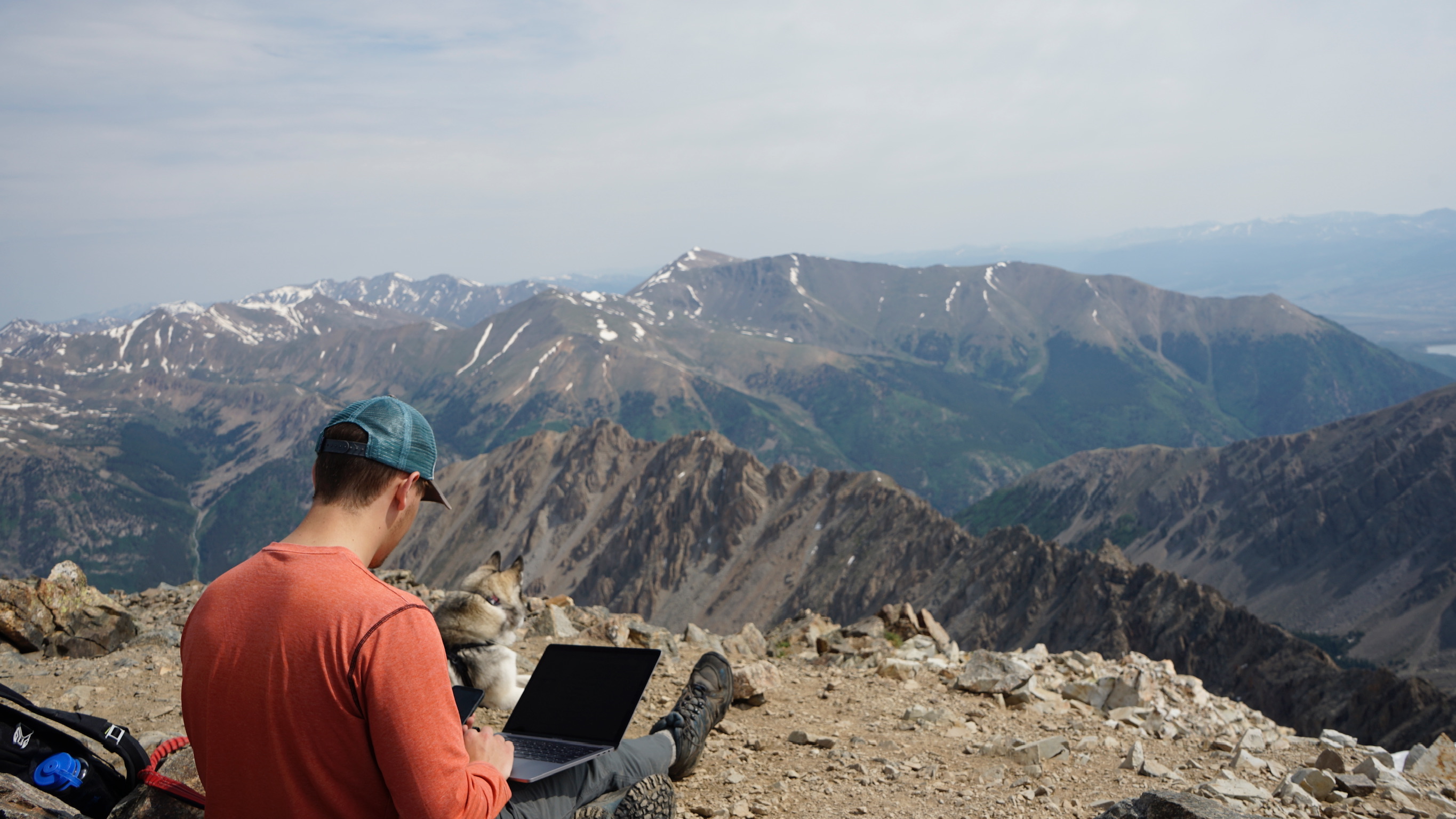
La Plata Peak, near Leadville, Colorado was next on our list. We chose the non-standard southwest ridge route, which delivered on epic views and a very peaceful day. Other than on the summit, I think we saw two other people the whole day.
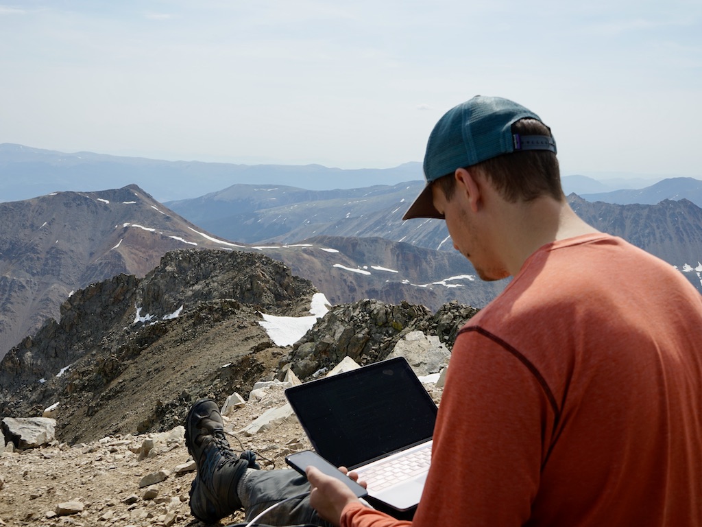
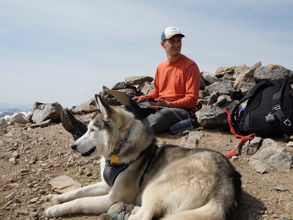
My pack had all the usual things (food, water, emergency supplies, bear spray, …) but also had my MacBook Pro! I later learned that MacBook Pro has a maximum operating altitude of 10,000ft 😬 thankfully nothing went wrong.
| 
|
| |
I've never written code with a view more epic than this.
On the summit, I was able to connect my iPhone to my Mac and stream some logs from Landscape in the Console app. Luckily, I was able to reproduce the issue and fix it right there. Mission accomplished, if only we didn't have to hike all the way back.
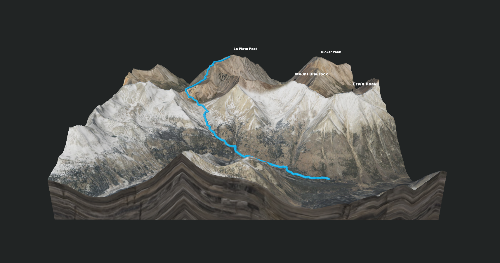
As always, here is the 3D model (.usdz) of our climb, exported from Landscape.
❖ ❖ ❖